Parson Street crosses the railway
Introduction
The photograph on this page of Parson Street crosses the railway by Robin Stott as part of the Geograph project.
The Geograph project started in 2005 with the aim of publishing, organising and preserving representative images for every square kilometre of Great Britain, Ireland and the Isle of Man.

There are currently over 7.5m images from over 14,400 individuals and you can help contribute to the project by visiting https://www.geograph.org.uk
Parson Street crosses the railway
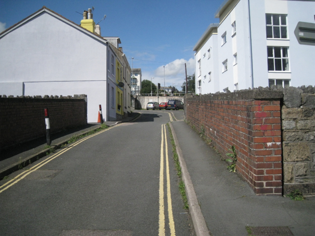
Image: © Robin Stott Taken: 19 Aug 2012
This part of Teignmouth has been fragmented by the 19th-century railway, World War Two bombing, and 20th-century redevelopment. Bits of old streets survive.
Images are licensed for reuse under creativecommons.org/licenses/by-sa/2.0
Image Location


Leaflet Map data © OpenStreetMap
Latitude
50.547184
Longitude
-3.499857