The entrance to Farthing Downs
Introduction
The photograph on this page of The entrance to Farthing Downs by Marathon as part of the Geograph project.
The Geograph project started in 2005 with the aim of publishing, organising and preserving representative images for every square kilometre of Great Britain, Ireland and the Isle of Man.

There are currently over 7.5m images from over 14,400 individuals and you can help contribute to the project by visiting https://www.geograph.org.uk
The entrance to Farthing Downs
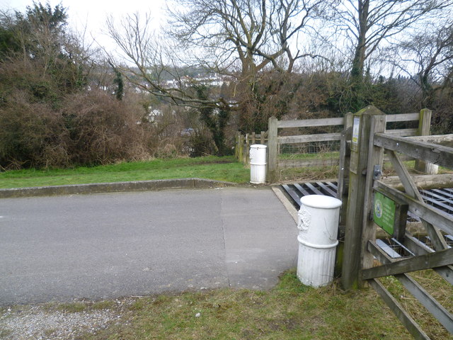
Image: © Marathon Taken: 27 Mar 2013
Farthing Downs is a fine chalk grassland, owned and managed by the Corporation of London. From the highest parts there are good views northwards towards London, as well as down into the valley to the west followed by the Brighton Road and main railway line. The London LOOP follows the crest of the Downs, parallel to Ditches Lane, before dropping down to reach Coulsdon. This is the view across the entrance where Ditches Lane leads up onto the Downs. On the other side of the road it drops down into one of the steep-sided valleys which run south from Purley, this one followed by Chaldon Way.
Images are licensed for reuse under creativecommons.org/licenses/by-sa/2.0
Image Location
Latitude
51.312754
Longitude
-0.13629