The pot of Parson Shields lime kiln
Introduction
The photograph on this page of The pot of Parson Shields lime kiln by Mike Quinn as part of the Geograph project.
The Geograph project started in 2005 with the aim of publishing, organising and preserving representative images for every square kilometre of Great Britain, Ireland and the Isle of Man.

There are currently over 7.5m images from over 14,400 individuals and you can help contribute to the project by visiting https://www.geograph.org.uk
The pot of Parson Shields lime kiln
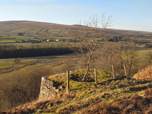
Image: © Mike Quinn Taken: 27 Feb 2013
See Image Looking across the valley of the River South Tyne towards Knarsdale Town Green.
Images are licensed for reuse under creativecommons.org/licenses/by-sa/2.0
Image Location
Latitude
54.87766
Longitude
-2.499933