Old Ham Lane
Introduction
The photograph on this page of Old Ham Lane by Nigel Mykura as part of the Geograph project.
The Geograph project started in 2005 with the aim of publishing, organising and preserving representative images for every square kilometre of Great Britain, Ireland and the Isle of Man.

There are currently over 7.5m images from over 14,400 individuals and you can help contribute to the project by visiting https://www.geograph.org.uk
Old Ham Lane
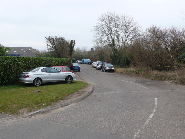
Image: © Nigel Mykura Taken: 6 Mar 2013
This is the junction of Old ham Lane with Wimborne Rd West.Its verges are very much used as a car park perhaps by people working in nearby businesses. Only the foreground is actually in this grid square as this is in the very south east corner of the grid square.
Images are licensed for reuse under creativecommons.org/licenses/by-sa/2.0
Image Location
Latitude
50.799638
Longitude
-1.945176