The junction of Tabernacle and Footshill Roads
Introduction
The photograph on this page of The junction of Tabernacle and Footshill Roads by Christine Johnstone as part of the Geograph project.
The Geograph project started in 2005 with the aim of publishing, organising and preserving representative images for every square kilometre of Great Britain, Ireland and the Isle of Man.

There are currently over 7.5m images from over 14,400 individuals and you can help contribute to the project by visiting https://www.geograph.org.uk
The junction of Tabernacle and Footshill Roads
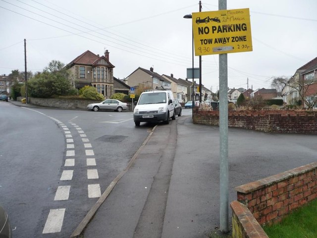
Image: © Christine Johnstone Taken: 23 Mar 2013
To become a temporary tow away zone in two days' time. Perhaps they are going to clean the gutters or have a street party?
Images are licensed for reuse under creativecommons.org/licenses/by-sa/2.0
Image Location
Latitude
51.45142
Longitude
-2.517304