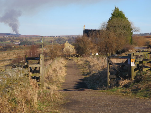
The trackbed of Lord Carlisle's Railway east of Halton-Lea-Gate
Introduction
The photograph on this page of The trackbed of Lord Carlisle's Railway east of Halton-Lea-Gate by Mike Quinn as part of the Geograph project.
The Geograph project started in 2005 with the aim of publishing, organising and preserving representative images for every square kilometre of Great Britain, Ireland and the Isle of Man.
There are currently over 7.5m images from over 14,400 individuals and you can help contribute to the project by visiting https://www.geograph.org.uk

Image: © Mike Quinn Taken: 27 Feb 2013
The (former) railway, part of which was in use in the 18th C, was built by Lord Carlisle without an Act of Parliament as it was built on his own land. It carried coal from the various collieries along the line of what is now the A689 to Brampton. By the mid-19th C, the line connected the Haltwhistle to Alston line (at Lambley) with Brampton on the Newcastle to Carlisle line. It was one of the first non-Stephenson railways to convert and adopt the standard gauge of 4’8½" and in 1836 the ‘new railway’ opened officially under steam traction with The Rocket http://www.bbc.co.uk/history/british/victorians/launch_ani_rocket.shtml in use from the following year. For more info see http://www.cumbria-railways.co.uk/brampton_railway.html. The line crossed the A689, with a level crossing, at a very acute angle - see the satellite image http://wtp2.appspot.com/wheresthepath.htm?lat=54.919823369785156&lon=-2.5388234853744507&gz=18&oz=8>=1. The plume of smoke in the distance (left) is from controlled heather burning on Plenmeller Common.

