West end of Gracedieu Road, Thringstone
Introduction
The photograph on this page of West end of Gracedieu Road, Thringstone by Richard Vince as part of the Geograph project.
The Geograph project started in 2005 with the aim of publishing, organising and preserving representative images for every square kilometre of Great Britain, Ireland and the Isle of Man.

There are currently over 7.5m images from over 14,400 individuals and you can help contribute to the project by visiting https://www.geograph.org.uk
West end of Gracedieu Road, Thringstone
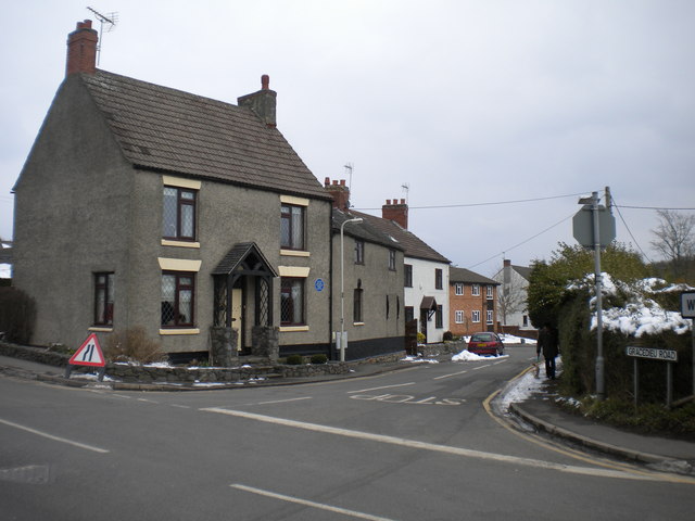
Image: © Richard Vince Taken: 27 Mar 2013
Seen at its junction with Talbot Street on the southern edge of Thringstone. Gracedieu was a nearby priory, some of whose ruined walls still stand.
Images are licensed for reuse under creativecommons.org/licenses/by-sa/2.0
Image Location
Latitude
52.749652
Longitude
-1.367657