Rural East Renfrewshire : Aged And Worn Sign On The Castburn Path, Uplawmoor
Introduction
The photograph on this page of Rural East Renfrewshire : Aged And Worn Sign On The Castburn Path, Uplawmoor by Richard West as part of the Geograph project.
The Geograph project started in 2005 with the aim of publishing, organising and preserving representative images for every square kilometre of Great Britain, Ireland and the Isle of Man.

There are currently over 7.5m images from over 14,400 individuals and you can help contribute to the project by visiting https://www.geograph.org.uk
Rural East Renfrewshire : Aged And Worn Sign On The Castburn Path, Uplawmoor
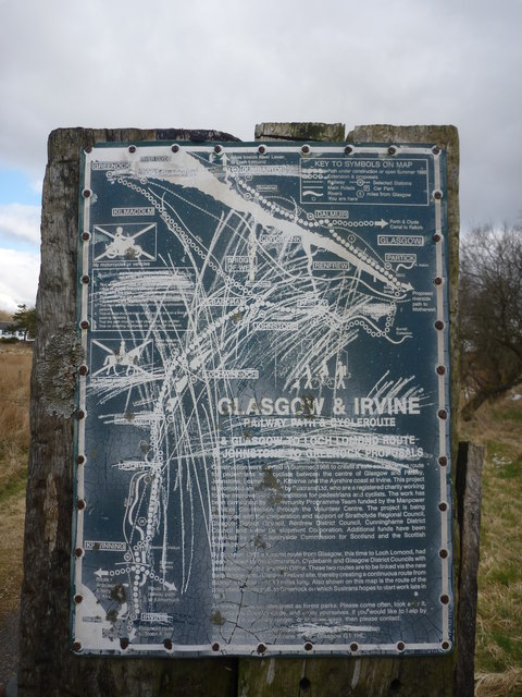
Image: © Richard West Taken: 26 Mar 2013
This sign appears to date from the late 1980's and describes the "Glasgow and Irvine Railway Path and Cycleroute", a route that is a good few miles to the west of this location.
Images are licensed for reuse under creativecommons.org/licenses/by-sa/2.0
Image Location
Latitude
55.765876
Longitude
-4.489496