Kings Head, Acton
Introduction
The photograph on this page of Kings Head, Acton by Derek Harper as part of the Geograph project.
The Geograph project started in 2005 with the aim of publishing, organising and preserving representative images for every square kilometre of Great Britain, Ireland and the Isle of Man.

There are currently over 7.5m images from over 14,400 individuals and you can help contribute to the project by visiting https://www.geograph.org.uk
Kings Head, Acton
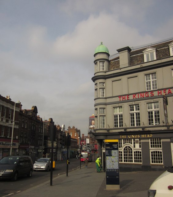
Image: © Derek Harper Taken: 21 Mar 2013
The pub (see also http://www.geograph.org.uk/search.php?i=40510132 ) faces the junction of King Street (right, now pedestrianised) with the A4020 High Street (left); Crown Street is off to the left.
Images are licensed for reuse under creativecommons.org/licenses/by-sa/2.0
Image Location
Latitude
51.507741
Longitude
-0.273167