High Bickington Church
Introduction
The photograph on this page of High Bickington Church by David Brinicombe as part of the Geograph project.
The Geograph project started in 2005 with the aim of publishing, organising and preserving representative images for every square kilometre of Great Britain, Ireland and the Isle of Man.

There are currently over 7.5m images from over 14,400 individuals and you can help contribute to the project by visiting https://www.geograph.org.uk
High Bickington Church
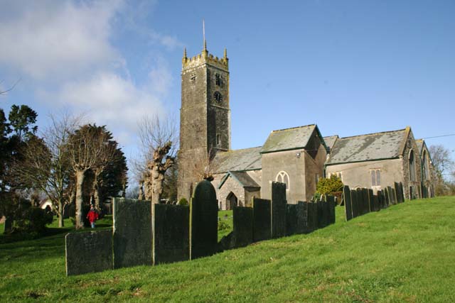
Image: © David Brinicombe Taken: 14 Feb 2007
St Mary's Church, High Bickington, dates from the 12th Century and has interesting pew-ends. There is an active PCC and an associated Primary School.
Images are licensed for reuse under creativecommons.org/licenses/by-sa/2.0
Image Location


Leaflet Map data © OpenStreetMap
Latitude
50.966835
Longitude
-3.996567