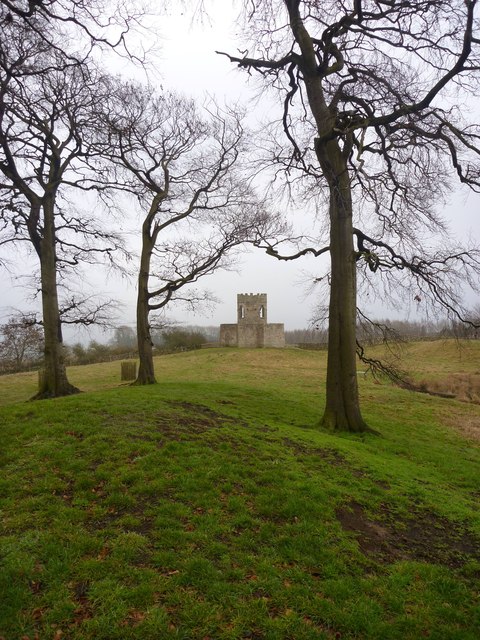
Olliver's Tower folly, through trees
Introduction
The photograph on this page of Olliver's Tower folly, through trees by Andy Waddington as part of the Geograph project.
The Geograph project started in 2005 with the aim of publishing, organising and preserving representative images for every square kilometre of Great Britain, Ireland and the Isle of Man.
There are currently over 7.5m images from over 14,400 individuals and you can help contribute to the project by visiting https://www.geograph.org.uk

Image: © Andy Waddington Taken: 17 Feb 2011
Signage suggests a certain amount of doubt about the origins of this tower, though it seems most likely that is served no real purpose and is therefore a "folly". It seems probable that there is a pleasant view from the top, but access seems to be blocked to those who are not prepared to climb the outside - not an attractive proposition on this cold misty February day in soaking wet boots after a longish walk.

