Bartlow Hills
Introduction
The photograph on this page of Bartlow Hills by David Beresford as part of the Geograph project.
The Geograph project started in 2005 with the aim of publishing, organising and preserving representative images for every square kilometre of Great Britain, Ireland and the Isle of Man.

There are currently over 7.5m images from over 14,400 individuals and you can help contribute to the project by visiting https://www.geograph.org.uk
Bartlow Hills
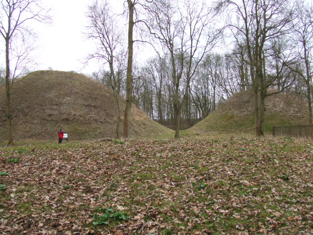
Image: © David Beresford Taken: 21 Mar 2013
There were originally thought to be seven mounds on this site. They are Romano - British burial sites. The largest mound to the left is 13 metres high and 43 metres diameter.
Images are licensed for reuse under creativecommons.org/licenses/by-sa/2.0
Image Location
Latitude
52.079286
Longitude
0.313451