Bramcote NG9, Notts.
Introduction
The photograph on this page of Bramcote NG9, Notts. by David Hallam-Jones as part of the Geograph project.
The Geograph project started in 2005 with the aim of publishing, organising and preserving representative images for every square kilometre of Great Britain, Ireland and the Isle of Man.

There are currently over 7.5m images from over 14,400 individuals and you can help contribute to the project by visiting https://www.geograph.org.uk
Bramcote NG9, Notts.
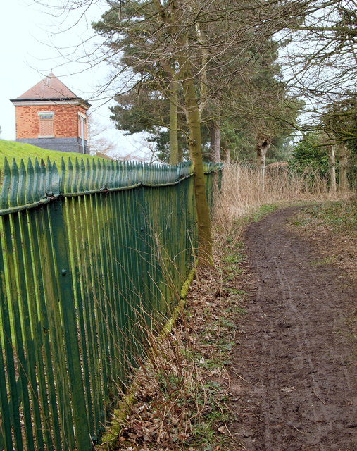
Image: © David Hallam-Jones Taken: 21 Mar 2013
Some walkers enter the middle portion of the village via this footpath, having climbed uphill across a couple of fields overlooking the Burnt Hill area. Having come through a unusually high kissing gate (6'3" tall), ramblers and dog-walkers follow this path that runs parallel with the boundary fence of a Severn-Trent Water Authority covered reservoir. Round the right-hand bend the footpath passes the reservoir entrance gates and then joins Moss Drive, a short cul-de-sac that joins Town Street (the 'main' road through the village).
Images are licensed for reuse under creativecommons.org/licenses/by-sa/2.0
Image Location
Latitude
52.932061
Longitude
-1.246282