Users of the Trans Pennine Trail
Introduction
The photograph on this page of Users of the Trans Pennine Trail by Gerald England as part of the Geograph project.
The Geograph project started in 2005 with the aim of publishing, organising and preserving representative images for every square kilometre of Great Britain, Ireland and the Isle of Man.

There are currently over 7.5m images from over 14,400 individuals and you can help contribute to the project by visiting https://www.geograph.org.uk
Users of the Trans Pennine Trail
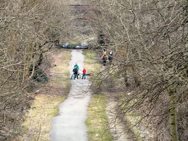
Image: © Gerald England Taken: 17 Mar 2013
A view from Knott Fold bridge looking towards Dowson Road. The former Godley Junction to Apethorn railway line is now used by the Trans Pennine Trail and the National Cycle Network Route 62. Horse-riders can be seen on the right here and cyclists and dog walkers on the left.
Images are licensed for reuse under creativecommons.org/licenses/by-sa/2.0
Image Location
Latitude
53.443195
Longitude
-2.077946