Lower Stoneymollan Road
Introduction
The photograph on this page of Lower Stoneymollan Road by Lairich Rig as part of the Geograph project.
The Geograph project started in 2005 with the aim of publishing, organising and preserving representative images for every square kilometre of Great Britain, Ireland and the Isle of Man.

There are currently over 7.5m images from over 14,400 individuals and you can help contribute to the project by visiting https://www.geograph.org.uk
Lower Stoneymollan Road
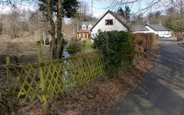
Image: © Lairich Rig Taken: 11 Mar 2013
See also Image and Image The present view is intended to draw attention to a burn that flows under the road at this point; its waters come from Image and from several other burns. Shortly before it empties into Loch Lomond, the same burn flows under a Image
Images are licensed for reuse under creativecommons.org/licenses/by-sa/2.0
Image Location
Latitude
56.001719
Longitude
-4.594151