Port Glasgow Health Centre
Introduction
The photograph on this page of Port Glasgow Health Centre by Thomas Nugent as part of the Geograph project.
The Geograph project started in 2005 with the aim of publishing, organising and preserving representative images for every square kilometre of Great Britain, Ireland and the Isle of Man.

There are currently over 7.5m images from over 14,400 individuals and you can help contribute to the project by visiting https://www.geograph.org.uk
Port Glasgow Health Centre
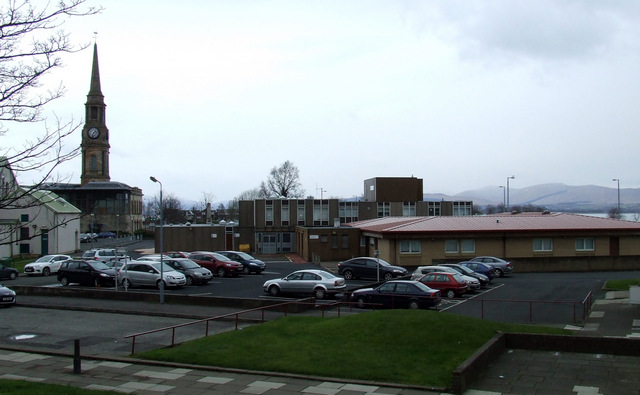
Image: © Thomas Nugent Taken: 16 Mar 2013
Built in 1977 (later extension on the right) to a design by Keppie Henderson Architects. The perfabricated original building employed a system known as CLASP (Consortium of Local Authorities Special Programme) http://www.clasp.gov.uk/NetBuildPro/process/6/History.html .
Images are licensed for reuse under creativecommons.org/licenses/by-sa/2.0
Image Location


Leaflet Map data © OpenStreetMap
Latitude
55.934049
Longitude
-4.68586