Junction, Merryfield Road
Introduction
The photograph on this page of Junction, Merryfield Road by Derek Harper as part of the Geograph project.
The Geograph project started in 2005 with the aim of publishing, organising and preserving representative images for every square kilometre of Great Britain, Ireland and the Isle of Man.

There are currently over 7.5m images from over 14,400 individuals and you can help contribute to the project by visiting https://www.geograph.org.uk
Junction, Merryfield Road
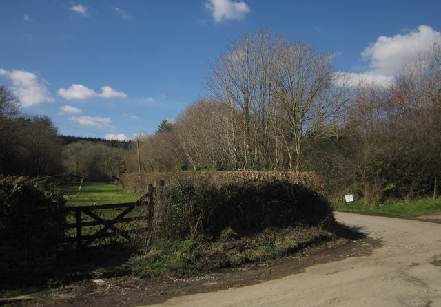
Image: © Derek Harper Taken: 14 Mar 2013
A turning for Wotton beside a gateway into a meadow. The notice on the right points out that this is not the way to the Hapstead Community.
Images are licensed for reuse under creativecommons.org/licenses/by-sa/2.0
Image Location
Latitude
50.483946
Longitude
-3.793167