Field Gate and Forestry
Introduction
The photograph on this page of Field Gate and Forestry by John S Turner as part of the Geograph project.
The Geograph project started in 2005 with the aim of publishing, organising and preserving representative images for every square kilometre of Great Britain, Ireland and the Isle of Man.

There are currently over 7.5m images from over 14,400 individuals and you can help contribute to the project by visiting https://www.geograph.org.uk
Field Gate and Forestry
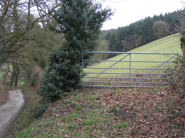
Image: © John S Turner Taken: 13 Feb 2007
Viewed from the minor road near Ty Newydd. The field is grazed by sheep, and at the far side is a forestry plantation. Offas Dyke LDP is on the other side of the wood.
Images are licensed for reuse under creativecommons.org/licenses/by-sa/2.0
Image Location


Leaflet Map data © OpenStreetMap
Latitude
53.240391
Longitude
-3.345535