United Reformed church, Buckfastleigh
Introduction
The photograph on this page of United Reformed church, Buckfastleigh by Derek Harper as part of the Geograph project.
The Geograph project started in 2005 with the aim of publishing, organising and preserving representative images for every square kilometre of Great Britain, Ireland and the Isle of Man.

There are currently over 7.5m images from over 14,400 individuals and you can help contribute to the project by visiting https://www.geograph.org.uk
United Reformed church, Buckfastleigh
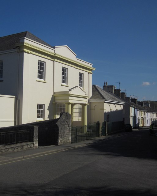
Image: © Derek Harper Taken: 14 Mar 2013
Looking down Chapel Street, with the stuccoed church http://list.english-heritage.org.uk/resultsingle.aspx?uid=1209045&searchtype=mapsearch on the left. The railings and gates at the front are separately listed http://list.english-heritage.org.uk/resultsingle.aspx?uid=1292408&searchtype=mapsearch .
Images are licensed for reuse under creativecommons.org/licenses/by-sa/2.0
Image Location
Latitude
50.481253
Longitude
-3.781084