Footpath & Bridge from Harrold-Lavendon Road
Introduction
The photograph on this page of Footpath & Bridge from Harrold-Lavendon Road by Nigel Stickells as part of the Geograph project.
The Geograph project started in 2005 with the aim of publishing, organising and preserving representative images for every square kilometre of Great Britain, Ireland and the Isle of Man.

There are currently over 7.5m images from over 14,400 individuals and you can help contribute to the project by visiting https://www.geograph.org.uk
Footpath & Bridge from Harrold-Lavendon Road
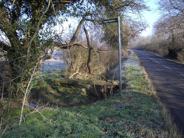
Image: © Nigel Stickells Taken: 7 Feb 2007
The signpost points the way northwestwards over the footbridge where the Milton Keynes Boundary Walk leaves the Harrold-Lavendon Road 100yds north of the Beds/Bucks county border.
Images are licensed for reuse under creativecommons.org/licenses/by-sa/2.0
Image Location
Latitude
52.183534
Longitude
-0.633856