New housing development on Ashdon Road
Introduction
The photograph on this page of New housing development on Ashdon Road by Alan Hawkes as part of the Geograph project.
The Geograph project started in 2005 with the aim of publishing, organising and preserving representative images for every square kilometre of Great Britain, Ireland and the Isle of Man.

There are currently over 7.5m images from over 14,400 individuals and you can help contribute to the project by visiting https://www.geograph.org.uk
New housing development on Ashdon Road
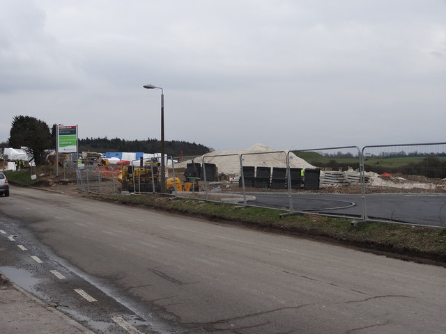
Image: © Alan Hawkes Taken: 18 Mar 2013
On aerial photos this is shown as agricultural land. It will be a new housing estate. There are concerns about the traffic that will be generated on to what is a main road with the characteristics of a country lane.
Images are licensed for reuse under creativecommons.org/licenses/by-sa/2.0
Image Location
Latitude
52.026018
Longitude
0.259534