Stepps-Springburn railway line, Barnhill
Introduction
The photograph on this page of Stepps-Springburn railway line, Barnhill by Nigel Thompson as part of the Geograph project.
The Geograph project started in 2005 with the aim of publishing, organising and preserving representative images for every square kilometre of Great Britain, Ireland and the Isle of Man.

There are currently over 7.5m images from over 14,400 individuals and you can help contribute to the project by visiting https://www.geograph.org.uk
Stepps-Springburn railway line, Barnhill
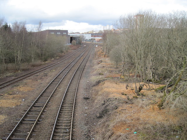
Image: © Nigel Thompson Taken: 15 Mar 2013
The line from Cumbernauld and Stepps used to run into Glasgow Buchanan Street station. Since that closed in 1966, trains now run in an inverted 'S' shape past Barnhill railway station (out of view immediately to the right of this image) and then left into Glasgow Queen Street (High Level).
Images are licensed for reuse under creativecommons.org/licenses/by-sa/2.0
Image Location
Latitude
55.878092
Longitude
-4.224398