River Thames towpath
Introduction
The photograph on this page of River Thames towpath by Alan Hunt as part of the Geograph project.
The Geograph project started in 2005 with the aim of publishing, organising and preserving representative images for every square kilometre of Great Britain, Ireland and the Isle of Man.

There are currently over 7.5m images from over 14,400 individuals and you can help contribute to the project by visiting https://www.geograph.org.uk
River Thames towpath
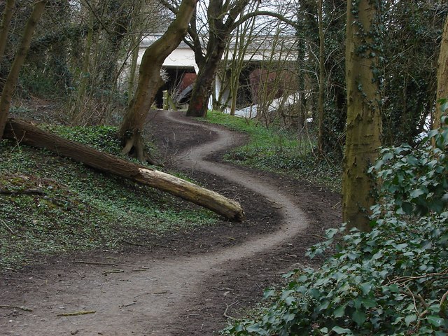
Image: © Alan Hunt Taken: 12 Mar 2013
A bendy section of the Thames towpath with the bridge carrying the M25 over the Thames in the background.
Images are licensed for reuse under creativecommons.org/licenses/by-sa/2.0
Image Location
Latitude
51.436648
Longitude
-0.533385