Craig-y-dorth; view due west
Introduction
The photograph on this page of Craig-y-dorth; view due west by Jonathan Billinger as part of the Geograph project.
The Geograph project started in 2005 with the aim of publishing, organising and preserving representative images for every square kilometre of Great Britain, Ireland and the Isle of Man.

There are currently over 7.5m images from over 14,400 individuals and you can help contribute to the project by visiting https://www.geograph.org.uk
Craig-y-dorth; view due west
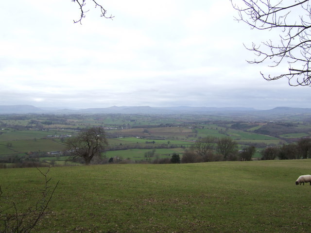
Image: © Jonathan Billinger Taken: 29 Jan 2007
This panorama takes in the hills (left to right); Blorenge, Ysgyryd Fach, Sugarloaf, Ysgyryd Fawr, Pen y Gadair Fawr, Waun Fach, Hay Bluff, and the much closer hill at Edmunds Tump. The high tops of the Beacons can be seen on clearer days behind the Sugarloaf.
Images are licensed for reuse under creativecommons.org/licenses/by-sa/2.0
Image Location
Latitude
51.778091
Longitude
-2.762371