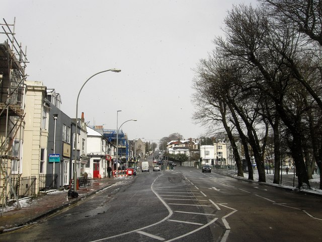
Ditchling Road
Introduction
The photograph on this page of Ditchling Road by Simon Carey as part of the Geograph project.
The Geograph project started in 2005 with the aim of publishing, organising and preserving representative images for every square kilometre of Great Britain, Ireland and the Isle of Man.
There are currently over 7.5m images from over 14,400 individuals and you can help contribute to the project by visiting https://www.geograph.org.uk

Image: © Simon Carey Taken: 12 Mar 2013
The southern end of the road that stretches from The Level to Ditchling Beacon. Originally one of the main London-Brighton routes that was turnpiked in the 1770s with this section developed from the 1810s onwards though it was originally known as Brunswick Terrace North. Beyond the junction with Union Road the road climbs steeply up the slopes of Round Hill and this section became impassable during the previous evening's ice and snow with a fair few abandoned cars still parked further up the following lunchtime. The section between St Peter's Place and Viaduct Road is currently part of the A23 one way system that runs around London Road.

