Footpath from housing estate to canal towpath, Kidderminster
Introduction
The photograph on this page of Footpath from housing estate to canal towpath, Kidderminster by P L Chadwick as part of the Geograph project.
The Geograph project started in 2005 with the aim of publishing, organising and preserving representative images for every square kilometre of Great Britain, Ireland and the Isle of Man.

There are currently over 7.5m images from over 14,400 individuals and you can help contribute to the project by visiting https://www.geograph.org.uk
Footpath from housing estate to canal towpath, Kidderminster
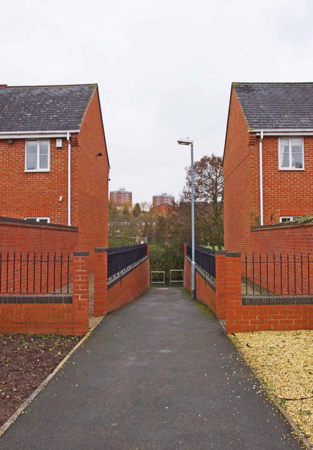
Image: © P L Chadwick Taken: 10 Mar 2013
Links the modern housing estate to the towpath of the Staffs & Worcs Canal. Image
Images are licensed for reuse under creativecommons.org/licenses/by-sa/2.0
Image Location
Latitude
52.397144
Longitude
-2.248915