Woodland near Hyndburn Brook
Introduction
The photograph on this page of Woodland near Hyndburn Brook by Bill Boaden as part of the Geograph project.
The Geograph project started in 2005 with the aim of publishing, organising and preserving representative images for every square kilometre of Great Britain, Ireland and the Isle of Man.

There are currently over 7.5m images from over 14,400 individuals and you can help contribute to the project by visiting https://www.geograph.org.uk
Woodland near Hyndburn Brook
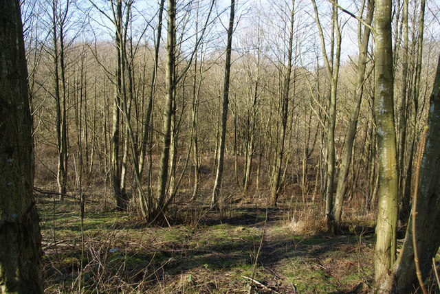
Image: © Bill Boaden Taken: 2 Mar 2013
Quiet woodland on the edge of Clayton-le-Moors where Hyndburn Brook runs through a small valley.
Images are licensed for reuse under creativecommons.org/licenses/by-sa/2.0
Image Location
Latitude
53.779632
Longitude
-2.393759