Forty Acre Farm
Introduction
The photograph on this page of Forty Acre Farm by Kate Jewell as part of the Geograph project.
The Geograph project started in 2005 with the aim of publishing, organising and preserving representative images for every square kilometre of Great Britain, Ireland and the Isle of Man.

There are currently over 7.5m images from over 14,400 individuals and you can help contribute to the project by visiting https://www.geograph.org.uk
Forty Acre Farm
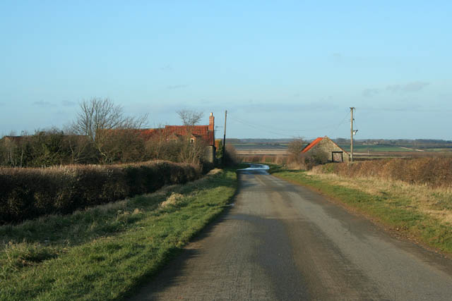
Image: © Kate Jewell Taken: 11 Feb 2007
This farm is on the 45 metre contour. The road drops down comparatively steeply from the flat plateau above Dembleby and Aunsby towards Culverthorpe Road in Image The hills on the horizon are Willsford Warren.
Images are licensed for reuse under creativecommons.org/licenses/by-sa/2.0
Image Location
Latitude
52.943909
Longitude
-0.454356