Diverted bridleway near Deer Park Farm
Introduction
The photograph on this page of Diverted bridleway near Deer Park Farm by David P Howard as part of the Geograph project.
The Geograph project started in 2005 with the aim of publishing, organising and preserving representative images for every square kilometre of Great Britain, Ireland and the Isle of Man.

There are currently over 7.5m images from over 14,400 individuals and you can help contribute to the project by visiting https://www.geograph.org.uk
Diverted bridleway near Deer Park Farm
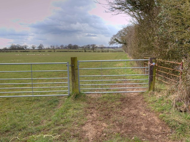
Image: © David P Howard Taken: 13 Mar 2013
The top sign on the right hand gate post is a Warwickshire County Council sign that reads "Diverted Path". The original route of the bridleway was parallel to this new route, about 100 metres to the south east, across the middle of the field. The new route now sensibly runs along the field margin.
Images are licensed for reuse under creativecommons.org/licenses/by-sa/2.0
Image Location
Latitude
52.320374
Longitude
-1.61792