Springs Road, Guiseley
Introduction
The photograph on this page of Springs Road, Guiseley by Richard Kay as part of the Geograph project.
The Geograph project started in 2005 with the aim of publishing, organising and preserving representative images for every square kilometre of Great Britain, Ireland and the Isle of Man.

There are currently over 7.5m images from over 14,400 individuals and you can help contribute to the project by visiting https://www.geograph.org.uk
Springs Road, Guiseley
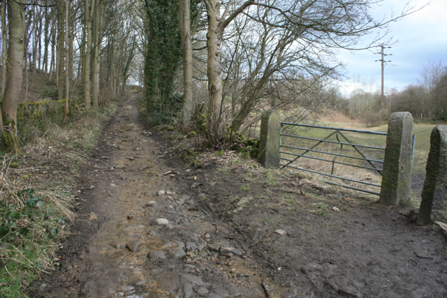
Image: © Richard Kay Taken: 13 Mar 2013
An old lane between Guiseley and Esholt, here seen climbing Sodhall Hill. The surface of the lane consists of stone setts, which have been loosened and displaced by water flowing down the steep incline. A footpath leaves the lane on the right through the stile.
Images are licensed for reuse under creativecommons.org/licenses/by-sa/2.0
Image Location
Latitude
53.864596
Longitude
-1.710139