Chapel and road junction on Brendon Hill
Introduction
The photograph on this page of Chapel and road junction on Brendon Hill by David Smith as part of the Geograph project.
The Geograph project started in 2005 with the aim of publishing, organising and preserving representative images for every square kilometre of Great Britain, Ireland and the Isle of Man.

There are currently over 7.5m images from over 14,400 individuals and you can help contribute to the project by visiting https://www.geograph.org.uk
Chapel and road junction on Brendon Hill
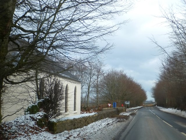
Image: © David Smith Taken: 12 Mar 2013
The Methodist Chapel is named and dated "Beulah 1861" on the side wall
Images are licensed for reuse under creativecommons.org/licenses/by-sa/2.0
Image Location
Latitude
51.099555
Longitude
-3.389697