Longwick - residential and commercial buildings on A4129
Introduction
The photograph on this page of Longwick - residential and commercial buildings on A4129 by David Hawgood as part of the Geograph project.
The Geograph project started in 2005 with the aim of publishing, organising and preserving representative images for every square kilometre of Great Britain, Ireland and the Isle of Man.

There are currently over 7.5m images from over 14,400 individuals and you can help contribute to the project by visiting https://www.geograph.org.uk
Longwick - residential and commercial buildings on A4129
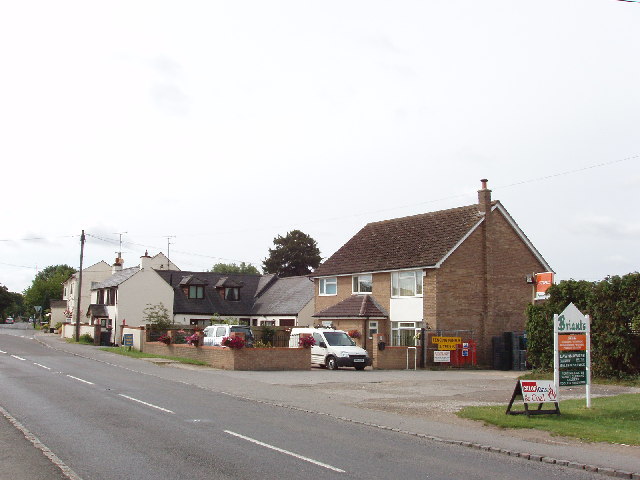
Image: © David Hawgood Taken: 4 Aug 2005
A public house at the B4009 junction on the left of the photo, then houses and a company supplying fencing, lawnmowers and similar.
Images are licensed for reuse under creativecommons.org/licenses/by-sa/2.0
Image Location
Latitude
51.737264
Longitude
-0.858795