Grave View
Introduction
The photograph on this page of Grave View by Andy Farrington as part of the Geograph project.
The Geograph project started in 2005 with the aim of publishing, organising and preserving representative images for every square kilometre of Great Britain, Ireland and the Isle of Man.

There are currently over 7.5m images from over 14,400 individuals and you can help contribute to the project by visiting https://www.geograph.org.uk
Grave View
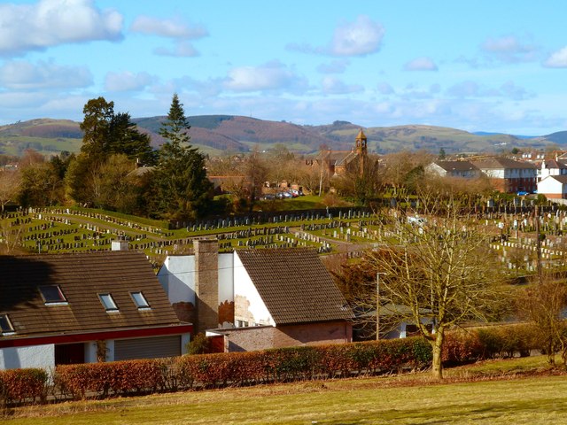
Image: © Andy Farrington Taken: 12 Mar 2013
Looking out over the Kingholm Road (B726) and the Glencaple Road (B725) to the Troqueer Cemetery from the grounds at the back of the Dumfries and Galloway Royal Infirmary, still, the far horizon is pleasant enough.
Images are licensed for reuse under creativecommons.org/licenses/by-sa/2.0
Image Location
Latitude
55.057938
Longitude
-3.60184