Foul Ford
Introduction
The photograph on this page of Foul Ford by Barbara Carr as part of the Geograph project.
The Geograph project started in 2005 with the aim of publishing, organising and preserving representative images for every square kilometre of Great Britain, Ireland and the Isle of Man.

There are currently over 7.5m images from over 14,400 individuals and you can help contribute to the project by visiting https://www.geograph.org.uk
Foul Ford
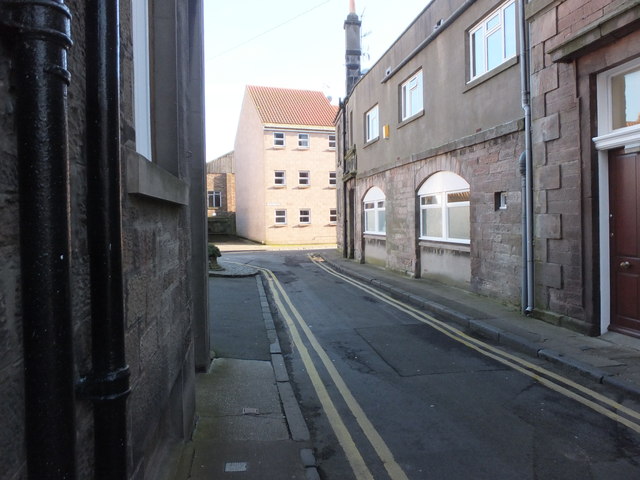
Image: © Barbara Carr Taken: 8 Feb 2013
This area is named 'Foul Ford' as it is one of the lowest-lying areas of Berwick ... before the days of proper drainage, all the 'gardy-loo' rubbish ('gardez l'eau' was shouted as human-waste products were thrown into the street) and horse-muck from the streets, plus butchery remnants would end up here. (Yeuch!)
Images are licensed for reuse under creativecommons.org/licenses/by-sa/2.0
Image Location
Latitude
55.767642
Longitude
-2.003002