Signs in central Banbury
Introduction
The photograph on this page of Signs in central Banbury by Basher Eyre as part of the Geograph project.
The Geograph project started in 2005 with the aim of publishing, organising and preserving representative images for every square kilometre of Great Britain, Ireland and the Isle of Man.

There are currently over 7.5m images from over 14,400 individuals and you can help contribute to the project by visiting https://www.geograph.org.uk
Signs in central Banbury
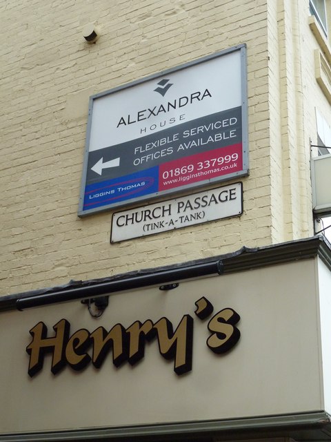
Image: © Basher Eyre Taken: 9 Mar 2013
Tink-a-Tank refers to the Sanctus Bell http://en.wikipedia.org/wiki/Sanctus_bell_(church_bell)#Types (Victoria County History Volume 11: Wootton Hundred (northern part) 1983 edited by Alan Crossley)
Images are licensed for reuse under creativecommons.org/licenses/by-sa/2.0
Image Location
Latitude
52.060484
Longitude
-1.338778