Car Park, Providence Place
Introduction
The photograph on this page of Car Park, Providence Place by Simon Carey as part of the Geograph project.
The Geograph project started in 2005 with the aim of publishing, organising and preserving representative images for every square kilometre of Great Britain, Ireland and the Isle of Man.

There are currently over 7.5m images from over 14,400 individuals and you can help contribute to the project by visiting https://www.geograph.org.uk
Car Park, Providence Place
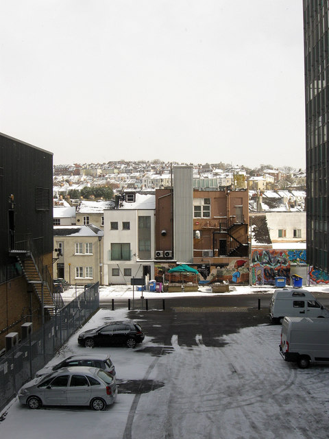
Image: © Simon Carey Taken: 12 Mar 2013
Viewed from New England Street with part of New England House to the right. Providence Place runs along the rear of shops that front onto London Road. All of this area was once covered with small terraced houses built for the workers of the adjacent Brighton locomotive works which closed in 1958. The houses were all cleared in the early 1960s. In the distance is Round Hill the name of both the hill and the suburb that occupies it.
Images are licensed for reuse under creativecommons.org/licenses/by-sa/2.0
Image Location
Latitude
50.832474
Longitude
-0.139012