10 and 12 Puckle Lane
Introduction
The photograph on this page of 10 and 12 Puckle Lane by John Baker as part of the Geograph project.
The Geograph project started in 2005 with the aim of publishing, organising and preserving representative images for every square kilometre of Great Britain, Ireland and the Isle of Man.

There are currently over 7.5m images from over 14,400 individuals and you can help contribute to the project by visiting https://www.geograph.org.uk
10 and 12 Puckle Lane
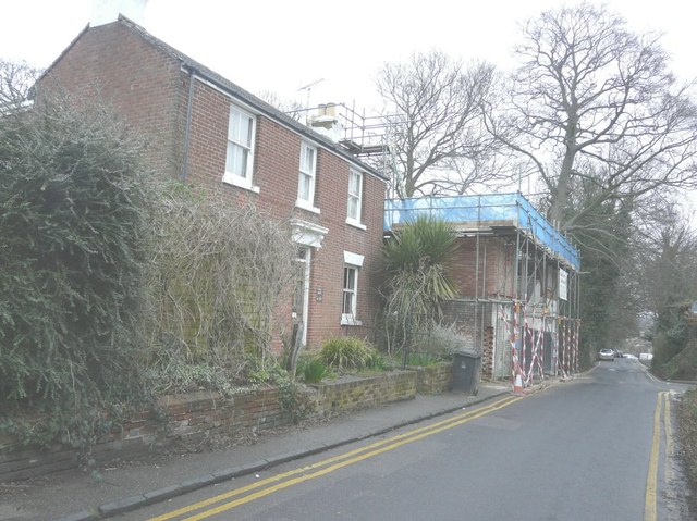
Image: © John Baker Taken: 10 Mar 2013
The nearer house (number 12) is also called Canon House; number 10 is beyond. Planning permission has been granted by Canterbury City Council under application number CA/13/00177 for the “conversion of existing building for 5 residential units with associated parking and amenity areas”.
Images are licensed for reuse under creativecommons.org/licenses/by-sa/2.0
Image Location
Latitude
51.27167
Longitude
1.08404