Hill Primary School, Blairgowrie
Introduction
The photograph on this page of Hill Primary School, Blairgowrie by Richard Dorrell as part of the Geograph project.
The Geograph project started in 2005 with the aim of publishing, organising and preserving representative images for every square kilometre of Great Britain, Ireland and the Isle of Man.

There are currently over 7.5m images from over 14,400 individuals and you can help contribute to the project by visiting https://www.geograph.org.uk
Hill Primary School, Blairgowrie
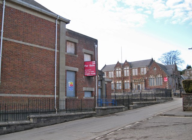
Image: © Richard Dorrell Taken: 24 Feb 2013
Viewed from the junction between Upper Allan Street and Church Wynd. The more distant building is the original school, built 1878 and opened 19th August 1879. On the left is an extension, built 1909. The school closed in 2009 and the site is currently for sale, though being Category B listed, and standing within a conservation area, substantial demolition of the existing buildings is unlikely.
Images are licensed for reuse under creativecommons.org/licenses/by-sa/2.0
Image Location


Leaflet Map data © OpenStreetMap
Latitude
56.593543
Longitude
-3.340354