Chanctonbury Road
Introduction
The photograph on this page of Chanctonbury Road by Simon Carey as part of the Geograph project.
The Geograph project started in 2005 with the aim of publishing, organising and preserving representative images for every square kilometre of Great Britain, Ireland and the Isle of Man.

There are currently over 7.5m images from over 14,400 individuals and you can help contribute to the project by visiting https://www.geograph.org.uk
Chanctonbury Road
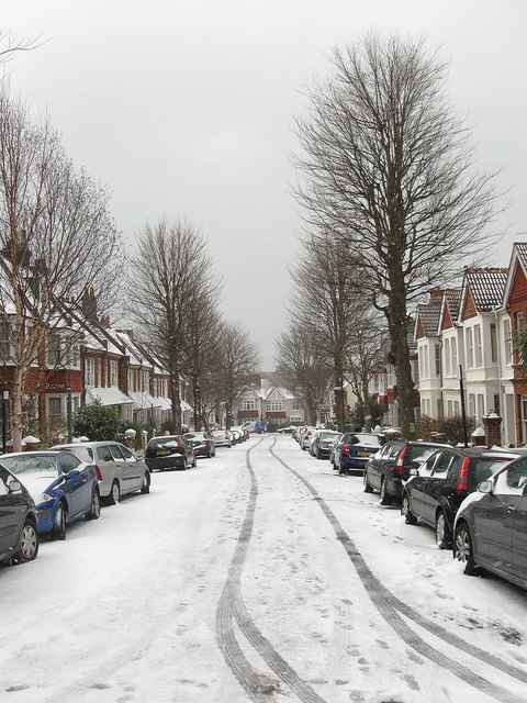
Image: © Simon Carey Taken: 12 Mar 2013
A residential street that originally linked Highdown Road to Old Shoreham Road though the latter junction has now been blocked off. The snow comes from the night before when it began laying around teatime the previous evening and had thawed and largely disappeared 24 hours later.
Images are licensed for reuse under creativecommons.org/licenses/by-sa/2.0
Image Location
Latitude
50.833145
Longitude
-0.152903