The former site of Napierston Farm
Introduction
The photograph on this page of The former site of Napierston Farm by Lairich Rig as part of the Geograph project.
The Geograph project started in 2005 with the aim of publishing, organising and preserving representative images for every square kilometre of Great Britain, Ireland and the Isle of Man.

There are currently over 7.5m images from over 14,400 individuals and you can help contribute to the project by visiting https://www.geograph.org.uk
The former site of Napierston Farm
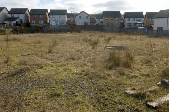
Image: © Lairich Rig Taken: 1 Mar 2013
The farm was demolished within the last decade. Its former presence is commemorated by the name "The Steadings", associated with nearby housing (the houses in the background of the present picture). For much more information, see Image and Image See Image for another view, from the far side of the road, showing that the area is fenced off (the present photograph is a view through that fence; it was not taken from within the fenced-off area). For later developments on this site, see Image and Image
Images are licensed for reuse under creativecommons.org/licenses/by-sa/2.0
Image Location
Latitude
55.992925
Longitude
-4.567743