Lightly snowed field south of A619
Introduction
The photograph on this page of Lightly snowed field south of A619 by Trevor Littlewood as part of the Geograph project.
The Geograph project started in 2005 with the aim of publishing, organising and preserving representative images for every square kilometre of Great Britain, Ireland and the Isle of Man.

There are currently over 7.5m images from over 14,400 individuals and you can help contribute to the project by visiting https://www.geograph.org.uk
Lightly snowed field south of A619
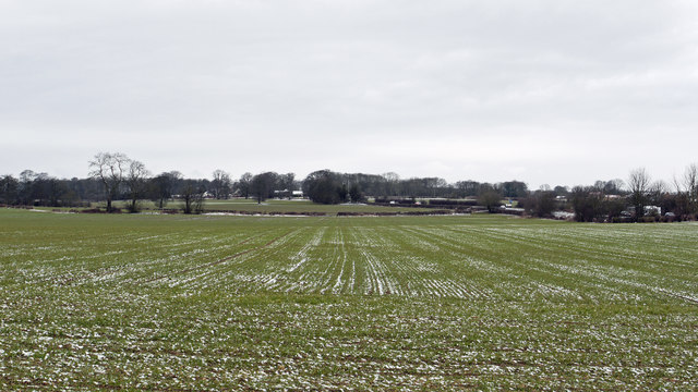
Image: © Trevor Littlewood Taken: 10 Mar 2013
The A619 is partly visible at the right side of the image in this area of farmland west of the Derbyshire village of Whitwell.
Images are licensed for reuse under creativecommons.org/licenses/by-sa/2.0
Image Location
Latitude
53.288445
Longitude
-1.240176