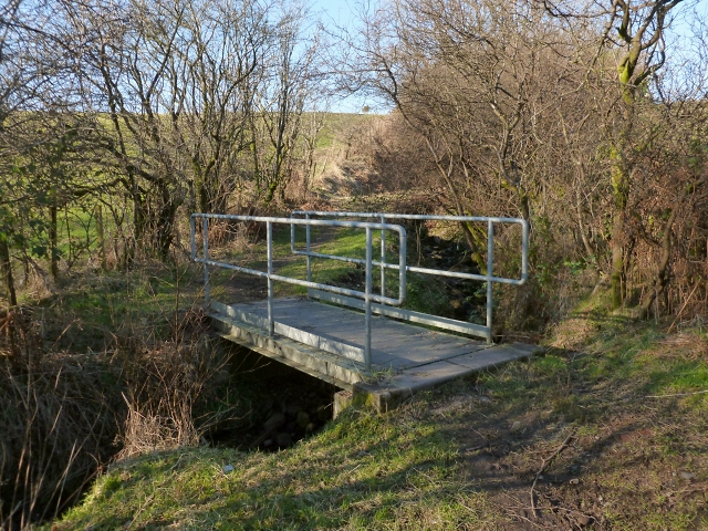
Footbridge over burn
Introduction
The photograph on this page of Footbridge over burn by Lairich Rig as part of the Geograph project.
The Geograph project started in 2005 with the aim of publishing, organising and preserving representative images for every square kilometre of Great Britain, Ireland and the Isle of Man.
There are currently over 7.5m images from over 14,400 individuals and you can help contribute to the project by visiting https://www.geograph.org.uk

Image: © Lairich Rig Taken: 25 Feb 2013
On the far side of the tunnel shown in Image, the Carrochan Burn is joined by a small tributary. This little footbridge takes the path over that tributary burn. (After crossing the Carrochan Burn, this footpath is no longer in West Dunbartonshire, but has entered Loch Lomond and the Trossachs National Park. It is still a core path, but of a different authority.) For a view of the bridge from the other side, see Image

