Lyndhurst Avenue, Kingskerswell
Introduction
The photograph on this page of Lyndhurst Avenue, Kingskerswell by Derek Harper as part of the Geograph project.
The Geograph project started in 2005 with the aim of publishing, organising and preserving representative images for every square kilometre of Great Britain, Ireland and the Isle of Man.

There are currently over 7.5m images from over 14,400 individuals and you can help contribute to the project by visiting https://www.geograph.org.uk
Lyndhurst Avenue, Kingskerswell
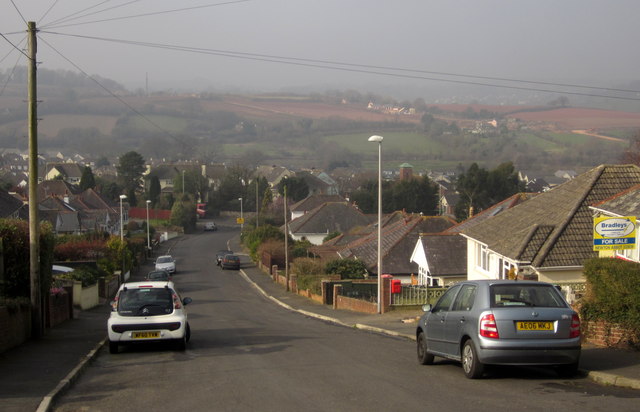
Image: © Derek Harper Taken: 5 Mar 2013
The road is shown from the lower end in Image The view from this top end looks across the village to where preparations are being made to built a bypass. http://southdevonlinkroad.co.uk/before-after/ shows (about halfway down the page) three views from approximately this point, including predicted views for 1 and 15 years after the new road is built.
Images are licensed for reuse under creativecommons.org/licenses/by-sa/2.0
Image Location
Latitude
50.504673
Longitude
-3.579315