Corner of Ledbrooke Close and Waun Road, Cwmbran
Introduction
The photograph on this page of Corner of Ledbrooke Close and Waun Road, Cwmbran by Jaggery as part of the Geograph project.
The Geograph project started in 2005 with the aim of publishing, organising and preserving representative images for every square kilometre of Great Britain, Ireland and the Isle of Man.

There are currently over 7.5m images from over 14,400 individuals and you can help contribute to the project by visiting https://www.geograph.org.uk
Corner of Ledbrooke Close and Waun Road, Cwmbran
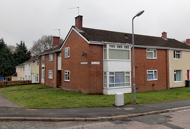
Image: © Jaggery Taken: 9 Mar 2013
Viewed across Waun Road. Some references show Ledbrook Close, but the name sign on the wall shows Ledbrooke Close.
Images are licensed for reuse under creativecommons.org/licenses/by-sa/2.0
Image Location
Latitude
51.644181
Longitude
-3.036159