Abergynolwyn village
Introduction
The photograph on this page of Abergynolwyn village by David Purchase as part of the Geograph project.
The Geograph project started in 2005 with the aim of publishing, organising and preserving representative images for every square kilometre of Great Britain, Ireland and the Isle of Man.

There are currently over 7.5m images from over 14,400 individuals and you can help contribute to the project by visiting https://www.geograph.org.uk
Abergynolwyn village
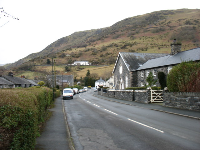
Image: © David Purchase Taken: 9 Mar 2013
The slopes of Foel Cae'rberllan, a 380m Marilyn, loom above. The conspicuous white house on the hillside is Pen-y-gareg.
Images are licensed for reuse under creativecommons.org/licenses/by-sa/2.0
Image Location
Latitude
52.645701
Longitude
-3.958366