Looking South Down Wheel Lane
Introduction
The photograph on this page of Looking South Down Wheel Lane by Rude Health as part of the Geograph project.
The Geograph project started in 2005 with the aim of publishing, organising and preserving representative images for every square kilometre of Great Britain, Ireland and the Isle of Man.

There are currently over 7.5m images from over 14,400 individuals and you can help contribute to the project by visiting https://www.geograph.org.uk
Looking South Down Wheel Lane
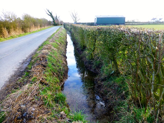
Image: © Rude Health Taken: 10 Mar 2013
A deep water filled ditch and a newish farm building can be seen on this southerly view down Wheel Lane near Pilling.
Images are licensed for reuse under creativecommons.org/licenses/by-sa/2.0
Image Location


Leaflet Map data © OpenStreetMap
Latitude
53.930146
Longitude
-2.923962