Midland Hotel
Introduction
The photograph on this page of Midland Hotel by Chris Morgan as part of the Geograph project.
The Geograph project started in 2005 with the aim of publishing, organising and preserving representative images for every square kilometre of Great Britain, Ireland and the Isle of Man.

There are currently over 7.5m images from over 14,400 individuals and you can help contribute to the project by visiting https://www.geograph.org.uk
Midland Hotel
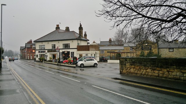
Image: © Chris Morgan Taken: 8 Mar 2013
At the junction of Midland Street and Aberford Road at Woodlesford and Oulton. The hotel was originally named the North Midland Railway Hotel according to the Ordnance Survey map of 1850-4. At that time there were just fields between the railway station and the hotel, with the main built up area further along Aberford road towards the village of Oulton. Thomas the Tank Engine has an inside track at pelmet height inside the hotel. It would appear that Midland Street is named after the hotel, although the street forms the border between Oulton and Woodlesford - the hotel is on the border. The hotel's own website gives a little more history, see; http://www.themidlandleeds.com/about-midland-hotel.html
Images are licensed for reuse under creativecommons.org/licenses/by-sa/2.0
Image Location
Latitude
53.752849
Longitude
-1.446723