Jamestown Industrial Estate
Introduction
The photograph on this page of Jamestown Industrial Estate by Lairich Rig as part of the Geograph project.
The Geograph project started in 2005 with the aim of publishing, organising and preserving representative images for every square kilometre of Great Britain, Ireland and the Isle of Man.

There are currently over 7.5m images from over 14,400 individuals and you can help contribute to the project by visiting https://www.geograph.org.uk
Jamestown Industrial Estate
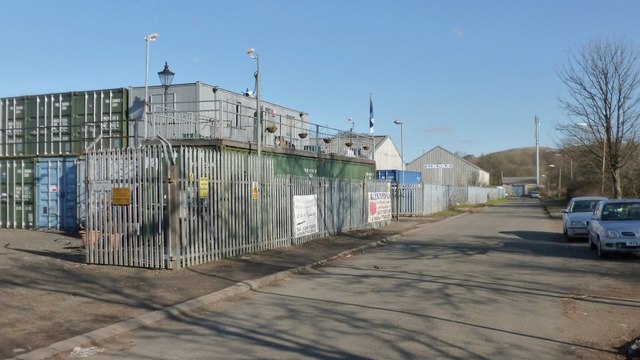
Image: © Lairich Rig Taken: 25 Feb 2013
For a more distant view of the same area, see Image, where the industrial estate is visible in the background, extending from in front of the church to the mast on the right (the same mast can be seen in the present picture, at the end of the road). The road is called Levenbank Road. See also Image, taken from about 100 metres nearer the junction with Main Street.
Images are licensed for reuse under creativecommons.org/licenses/by-sa/2.0
Image Location
Latitude
55.997685
Longitude
-4.567898