Mynydd Llangyndeyrn
Introduction
The photograph on this page of Mynydd Llangyndeyrn by Rude Health as part of the Geograph project.
The Geograph project started in 2005 with the aim of publishing, organising and preserving representative images for every square kilometre of Great Britain, Ireland and the Isle of Man.

There are currently over 7.5m images from over 14,400 individuals and you can help contribute to the project by visiting https://www.geograph.org.uk
Mynydd Llangyndeyrn
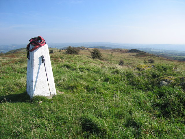
Image: © Rude Health Taken: 20 Sep 2008
Super little summit with easy access from parking at top of farm road. Name: Mynydd Llangyndeyrn Hill number: 2285 Height: 263m / 863ft Area: 32B: Carmarthen to Vale of Neath Class: Ma Grid ref: SN 48239 13275 Summit feature: rock 3m SSE of trig point Drop: 170m Col: 93m SN523137
Images are licensed for reuse under creativecommons.org/licenses/by-sa/2.0
Image Location
Latitude
51.797336
Longitude
-4.202302