Farm Track
Introduction
The photograph on this page of Farm Track by David P Howard as part of the Geograph project.
The Geograph project started in 2005 with the aim of publishing, organising and preserving representative images for every square kilometre of Great Britain, Ireland and the Isle of Man.

There are currently over 7.5m images from over 14,400 individuals and you can help contribute to the project by visiting https://www.geograph.org.uk
Farm Track
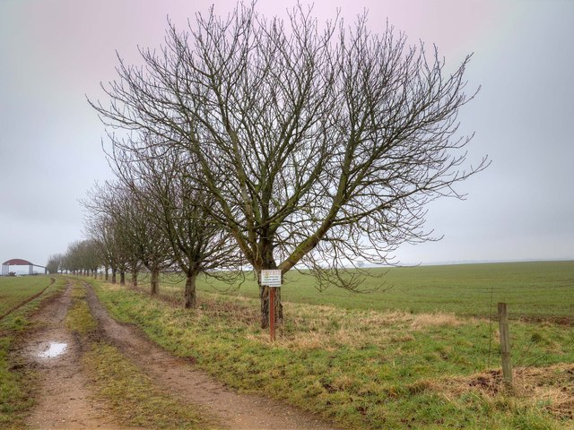
Image: © David P Howard Taken: 9 Mar 2013
A farm track off the B4100 near Shotteswell. The northern edge of the grid square runs diagonally across between the third and fourth trees.
Images are licensed for reuse under creativecommons.org/licenses/by-sa/2.0
Image Location
Latitude
52.110589
Longitude
-1.39411